Collecting and Sharing Real-Time Data for Source Water Protection
The City of Defiance obtained funding through a Great Lakes Observing System (GLOS) mini-grant to provide installation of real-time sensors for monitoring nutrient levels in the Upper Maumee River at the City of Defiance Water Treatment Plant (WTP). The data obtained will enable WTP staff to make critical data-driven decisions on when to pump from the Maumee into the Defiance water supply reservoir. In addition, this information will fill important data gaps needed to support the City’s current Source Water Protection Plan (SWPP) and future work to develop its Integrated Watershed Improvement Plan (IWIP)–complementary efforts that are both designed to benefit water quality in the Maumee watershed and Western Lake Erie Basin (WLEB). This project will also provide information needed to help create stakeholder-driven conservation efforts through agricultural and urban-rural partnerships; not only in the Upper Maumee Watershed, but in other parts of the Great Lakes Region. The work in Defiance will serve as a replicable, scalable pilot project for a Smart Watershed approach in the Great Lakes tributaries through civic engagement, ongoing implementation of best management practices and data communication with GLOS. Finally, this project will support the goals of the “Smart Great Lakes Initiative” by strengthening partnerships with other regional stakeholders working to address basin-wide water quality problems in the Great Lakes.


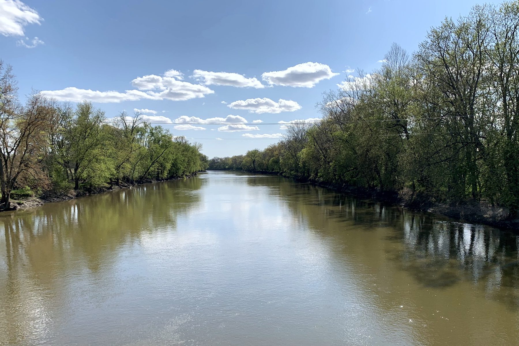
Project Background: The Maumee River, beginning in Ft. Wayne, Indiana and emptying into Lake Erie in Toledo, OH has the largest watershed of any river flowing into the Great Lakes system with over 6600 square miles of drainage area (Cousinoet al., 2015; Figure 1); it is a key contributor to conditions that cause harmful algal blooms (HABs)in western Lake Erie. The City of Defiance is uniquely located at the confluence of the Auglaize and Maumee Rivers; 85% of the total flow of the Maumee passes through our community. Nutrient loading is exacerbated by extreme weather, and it is assumed that a large percentage of nutrient loading occurs in a small percentage of wet weather events, typically in the spring. As the largest tributary of any to the Great Lakes, we have the direct opportunity to make measurable impact on the WLEB and apply successes in Smart Lake Erie to the tributaries. The confluence of Defiance has had a significant role in the region throughout history, and the challenges facing our community today are greater than ever.
This project is funded by a GLOS mini-grant.

The City of Defiance and Land to Lake present: The Upper Maumee Smart Watershed Pilot—Collecting and Sharing Real-time Data for Source Water Protection
Smart Water Virtual Workshop PDF
Register Here:
https://us02web.zoom.us/meeting/register/tZwtcO2rpjguGtdl23jCFVrsnGwP9JQm_Fbe