Ohio’s Buckeye Trail (BT) was first envisioned in 1958 as a hiking trail to connect Lake Erie to the Ohio River through the rugged hills of eastern and southern Ohio. The BT has evolved into a large loop trail around the entire state of Ohio. More than 1,400 miles now connect wooded footpaths, abandoned railroads and canal towpaths, back roads, riversides and lake shores, within both rural and community settings connecting many of Ohio’s most beloved public lands and trail towns. The BT provides an intimate way to experience Ohio’s wonderful scenic and historic diversity.
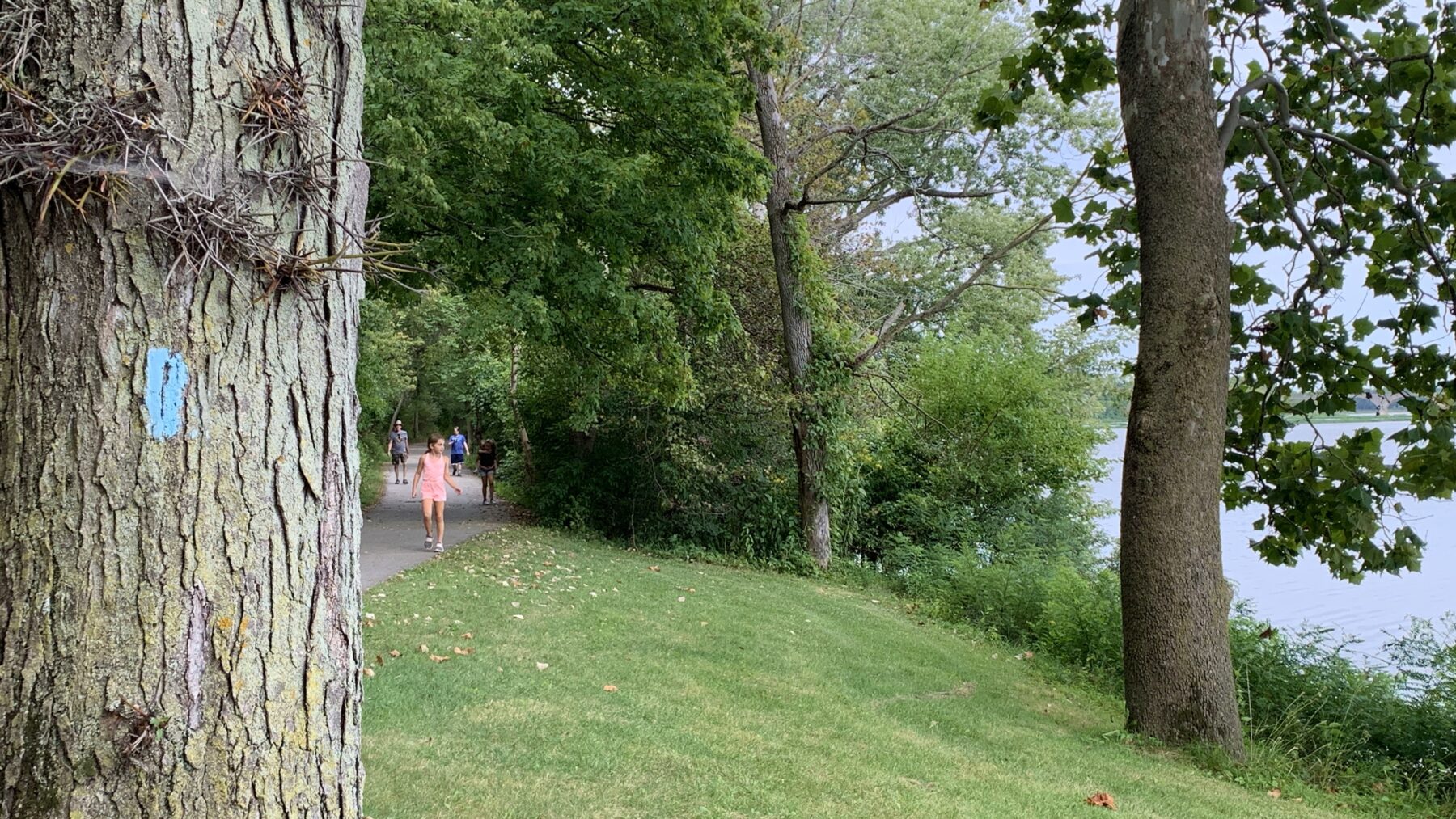
The BT is marked along its length by painted blue blazes. The trail is open to all hikers, made possible by Buckeye Trail Association (BTA) volunteers and the partnership of many federal, state, and local agencies, and private land-owners. The BT is enjoyed as a popular local hiking destination by millions of Ohioans as well as a long distance “thru-hike” by the more adventurous.
The North Country National Scenic Trail is the longest in the National Trails System, stretching
4,700 miles across eight states from North Dakota to Vermont. The Trail traverses through more than 160 federal, state and local public lands, including 10 National Forests, four areas of the National Park Service, and over 100 state parks, forests and game areas. It winds along three of the Great Lakes, past countless farmlands, through large cityscapes and vast prairies, over many rivers and streams, and through the famed Adirondacks. The North Country Trail also shares routes with the Buckeye Trail through Defiance County, from the Defiance Paulding County Line Road, along Canal Road, through town and eastward through Independence State Park.


In 2021, Defiance County and the City of Defiance worked with the BTA to develop a comprehensive plan for adding blazes and implementing a new signage system along the trail, throughout Defiance County. The new signs will be installed Spring 2022.